
Blog

Gritter Tracker, TrueViewVisuals, Winter Maintenance

A Single Source of Winter Maintenance Information
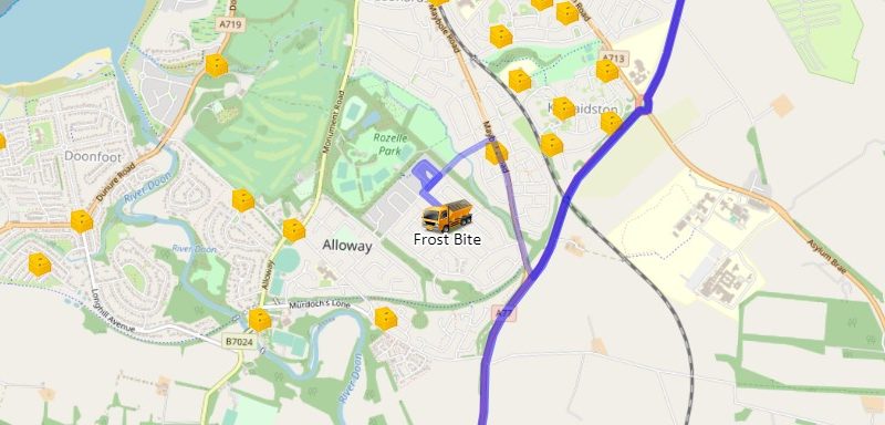

To create a single source of winter maintenance information, the TrueViewVisuals gritter tracker solution now integrates grit bin locations and reporting. Communities can now find relevant grit bins on the map or via an address/postcode/location description search, enhanced with an innovative Alexa smart speaker support and features. After selecting a particular grit bin, the user

Read More

Digital, Feature Spotlight, TrueViewVisuals, Vehicle Tracking

Live Online Vehicle Tracking Winter 2019 – 2020


Provide an online gritter tracker website for your fleet this winter! Transport Scotland demonstrated the benefits of winter maintenance vehicle tracking in the winter of 2017/18.  This year TrueViewVisuals, a TomTom Telematics Connect Partner, have created a service for local authorities.  The Ayrshire Roads Alliance (South and East Ayrshire) are the first to demonstrate the benefits of online tracking.  Current live vehicle locations and trails clearly show service provision and provide road treatment history maps are updated every minute.  Why Track Gritters Online?

Read More

Augmented Reality, Autodesk, B4itsBuilt, BIM, Buildings, Case Study, Digital, Future Cities, Future of Planning, GIality, Planning, Urban Planning

#PlanTech and The Future of Planning


Last week was the inaugural PlanTech Week in London, hosted at the The Urban Innovation Centre, part of the Future Cities Catapult in Clerkenwell. PlanTech #PlanTech follows in the footsteps of #PropTech and #FinTech as the technology discussion arm of the planning & development community.  PlanTech, best described in the words of the FCC founders

Read More

Augmented Reality, Case Study, Digital, Grid, Landscape Architects, Planning, Rural Planning, VentusAR, Virtual Reality

Conductor Line Sag in Grid Projects


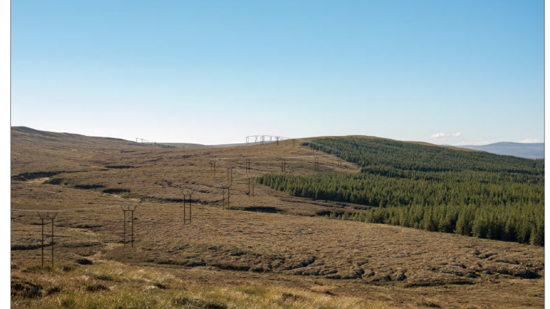
One of the features we  added recently is drawing realistic looking Conductor lines between towers on our Grid projects. Prior to VentusAR 5.4 we drew straight lines between the connector points on the tower models. This had the effect of fairly unrealistic looking conductor lines as even across the shortest distance the conductor lines sag slightly

Read More

Uncategorized

VentusAR 5.4 Released


Today we released VentusAR v5.4 into the app stores. The release includes many new features, bug fixes and performance improvements across Wind, Grid, Solar and Building domains. These include 3D building data from Open Street Map now available for alignment in MyView and the addition of ellipses to turbines to help visualise wind turbulence for wind

Read More